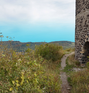
La Croix de Ternant depuis le parking des Goules

Opening dates and times
All year round.
Services and equipment
| Average length of single visit : | 105min |
|---|---|
| Activities : | Pedestrian sports, Hiking itinerary |
| Daily duration : | 1h45 |
| Distance : | 5 km |
| Change in altitude (uphill) : | 51 m |
| Maximum altitude : | 1007 m |
| type of itinerary : | BOUCLE |
| Marked itinerary : | Yes |
Prices
- Free access.