Via Allier (V70) à vélo - Section Puy-de-Dôme en 4 jours


Welcome to Via Allier, the route of Véloroute 70, this route proposes you to discover the Puy-de-Dôme department along the Allier river.
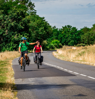
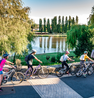
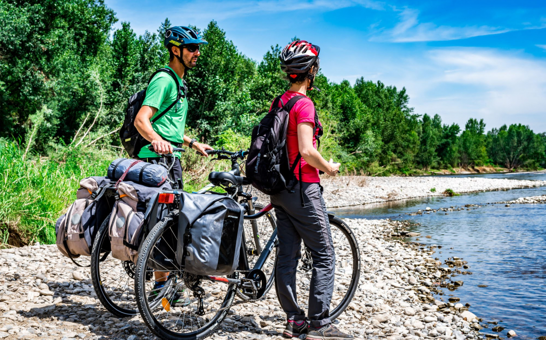
The 112-kilometer route, from the Limagne plains to the north with his hilltop villages of the south of the department, is entirely marked out on low-traffic roads or cycle lanes.
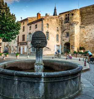
We propose a presentation in five parts of about 20 km each for a touristic discovery.
Today, the Via Allier is entirely marked out on a shared road in the departments of Puy-de-Dôme and Allier. Gradually, the route is equipped with sections of greenways.
Opening dates and times
All year round.
Subject to favorable weather.
Services and equipment
| Average length of single visit : | 180min |
|---|---|
| Rubric : | Sport |
| Activities : | Cycling sports, Bike route |
| Duration : | 4day(s) |
| Daily duration : | 3h00 |
| Distance : | 112 km |
| Change in altitude (uphill) : | 1260 m |
| Maximum altitude : | 654 m |
| type of itinerary : | ALLER_ITINERANCE |
| Marked itinerary : | Yes |
Prices
- Free access.
Downloads
Contact for the route
Conseil départemental du Puy-de-Dôme - Mission Tourisme
Tel : 04 73 42 20 20
Email : tourisme@puy-de-dome.fr